Invest 94L Update: What It Means for Central Florida Weather
As of August 12, the National Hurricane Center is actively monitoring three disturbances in the Atlantic Ocean following a relatively quiet start to the hurricane season. Among these systems, Invest 94L has drawn attention as forecasters believe it could develop into a tropical depression by the end of the week or early this weekend. This potential development comes as overall activity in the Atlantic basin begins to pick up, with other systems like Tropical Storm Cristobal and Invest 92L also under observation.
Understanding the Current Systems
Tropical Storm Cristobal formed unexpectedly east of Bermuda but is predicted to be short-lived. As it moves into cooler waters in the central Atlantic, upper-level winds are expected to become too strong for further development. Meanwhile, Invest 92L is moving west across the Atlantic and is approaching the Lesser Antilles. According to Nick Arman, a forecasting operations meteorologist with AccuWeather, this system will encounter increased wind shear as it approaches the northern Lesser Antilles later in the week.
This wind shear is expected to limit strengthening for Invest 92L. If the system remains weak, it might turn toward the Southeast coast, but a wall of wind shear would likely disrupt its formation entirely. Forecasters note that Invest 94L may face similar challenges as it moves westward or west-northwestward across the eastern and central tropical Atlantic.
What Are Spaghetti Models?
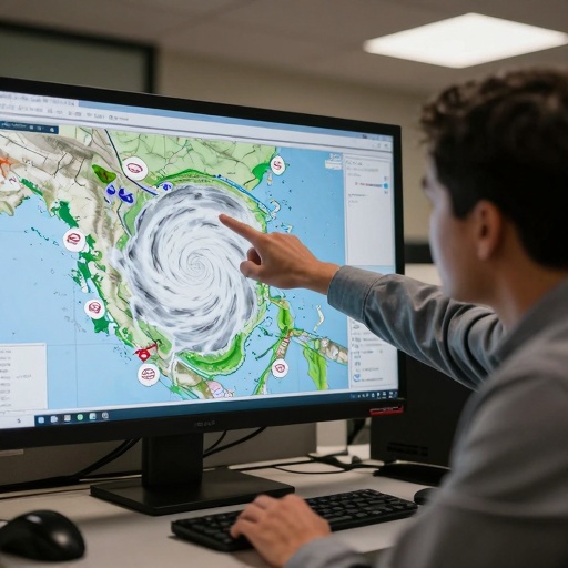
The National Hurricane Center utilizes "spaghetti models" to visualize potential storm paths. These illustrations include an array of forecast tools, but not all are created equal. To make accurate forecasts, the Hurricane Center relies primarily on the top four or five highest-performing models.
As Invest 94L remains a few hundred miles off the coast of Africa, its specific path is still uncertain. Forecasters indicate they will have a clearer idea of the system's trajectory if it continues to develop. For now, residents in Central Florida and across the state are advised to stay informed through official weather alerts, more context in Florida Weather Alert.
Definitions and Next Steps
Understanding storm classifications is key for local preparedness. According to the National Weather Service, a tropical depression has maximum sustained surface winds of 38 mph or less based on a one-minute average. A tropical storm features stronger winds ranging from 39 to 73 mph.
If Invest 94L develops and is named, it will likely be followed by Dolly and Eduard in the Atlantic basin naming sequence. Residents are encouraged to sign up for weather alerts via text to receive updates about current storms and weather events specific to their location. Updates on tropical weather coverage will continue daily as meteorologists monitor these evolving systems.