Severe Thunderstorm Warning for Central Florida Counties
Orange y Osceola bajo alerta por vientos superiores a 50 mph, relámpagos intensos y granizo pequeño. Prepare su hogar.
Meteorological authorities have issued a severe thunderstorm warning for specific areas of Orange and Osceola counties in central Florida. This notice alerts the local population to imminent dangerous conditions, including sustained winds exceeding 50 miles per hour, intense electrical activity with frequent lightning strikes, and falling small hail. The warning is designed to quickly inform residents in these specific geographic areas so they can take immediate precautions.
Expected Weather Conditions
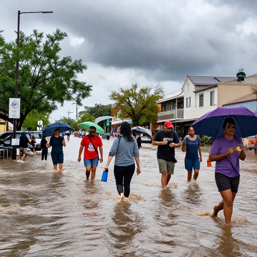
During the period covered by the alert, storms are expected to produce significant wind gusts. Winds exceeding 50 mph may cause minor damage to fragile structures, such as light roofs or fences, and are likely to knock down weak tree branches or those that have been poorly pruned. Additionally, the intensity of lightning poses a direct risk to people outdoors and can disrupt local electrical services due to direct impacts on transmission lines.
The presence of small hail, although not necessarily large, adds another layer of complication to current conditions. Hail can damage vehicles parked outside, exposed windows, and agricultural crops in the region. Drivers must exercise extreme caution due to reduced visibility from rain associated with these severe thunderstorms.
Recommendations for Orlando Residents
For residents in affected areas, it is recommended to constantly check weather conditions and have an emergency plan ready. It is crucial to secure external objects that could become projectiles in strong winds, such as garden furniture or flower pots. If you are outdoors, seek immediate shelter in a sturdy structure, as we reported in Cold Front Brings Storm Threat and Heat Relief to Florida.
Local authorities urge the community to stay informed through official channels and reliable weather applications until the warning is lifted. Proper preparation is key to minimizing risks during severe weather events in central Florida.