Severe Thunderstorm Warnings Issued for Orlando and I-4 Corridor as Storms Loom
Central Florida residents brace for dangerous weather including damaging winds, frequent lightning, and potential hail across Orange, Seminole, and Osceola counties.
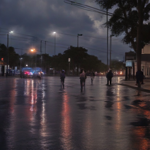
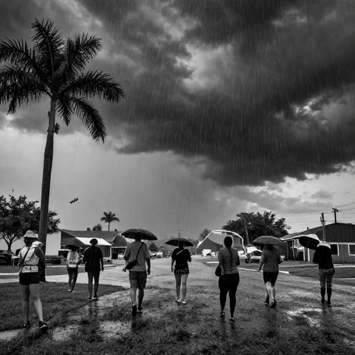
Residents across Central Florida are being urged to take immediate precautions as the National Weather Service has issued severe thunderstorm warnings for several key areas in Orlando and along the I-4 corridor. The forecast indicates a volatile weather pattern that will bring not only heavy rain but also significant wind hazards and electrical activity throughout the afternoon and evening.
Immediate Safety Precautions Required
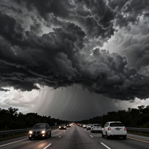
The primary concern with these severe thunderstorms is the potential for damaging straight-line winds, which can exceed 58 miles per hour. In a region where tree coverage lines many neighborhoods in Winter Park, Lake Nona, and downtown Orlando, falling branches pose a serious risk to power lines and vehicles. Drivers on major arteries like Interstate 4 and State Road 417 should expect reduced visibility and slick road conditions.
Lightning is also expected to be frequent and dangerous. The National Weather Service advises that if thunder roars, you must go indoors immediately. This simple rule remains the most effective way to stay safe during electrical storms common in Florida’s humid climate. Residents are encouraged to unplug sensitive electronics and avoid using corded phones or plumbing until the storm passes.
Impact on Theme Parks and Local Travel
The Orlando metropolitan area, heavily reliant on tourism, faces potential disruptions as these severe weather systems move through. Major attractions such as Disney World’s Magic Kingdom and Universal Studios’ outdoor queues often close temporarily during lightning warnings to ensure guest safety. While indoor rides remain operational, visitors planning day trips should anticipate delays.
Commutes along the I-4 corridor may become hazardous due to sudden downpours that overwhelm drainage systems in developing areas of Orange County. Commuters traveling between Kissimmee and Orlando are advised to allow extra time for travel or consider postponing non-essential trips until conditions improve. Local traffic updates from WFTV and other news outlets should be monitored closely for real-time road closure information, a story we covered in Orlando Faces Hottest Day Yet as Rare Extreme Heat Warning Hits Central Florida.
Hail Risks in Seminole and Osceola Counties
Beyond wind and rain, small hail is a distinct possibility within the warning zones covering parts of Seminole County near Sanford and extending south into Osceola. While likely to be pea-sized or smaller, even minor hail can cause cosmetic damage to vehicles parked outdoors without cover.
Property owners in these areas are advised to secure loose outdoor furniture, patio umbrellas, and garden decorations before the storm arrives. The combination of high winds and hail creates a dual threat that requires residents to be vigilant about their immediate surroundings. If you live in older neighborhoods with aging tree canopies, park your vehicle under a garage or carport if possible.
As Central Florida continues its rainy season, these weather events serve as a reminder of the region's unpredictable climate patterns. The National Weather Service emphasizes that severe thunderstorm warnings mean hazardous conditions are either occurring or imminent. This is not merely a watch but an active alert requiring immediate attention from all residents in the affected zones.