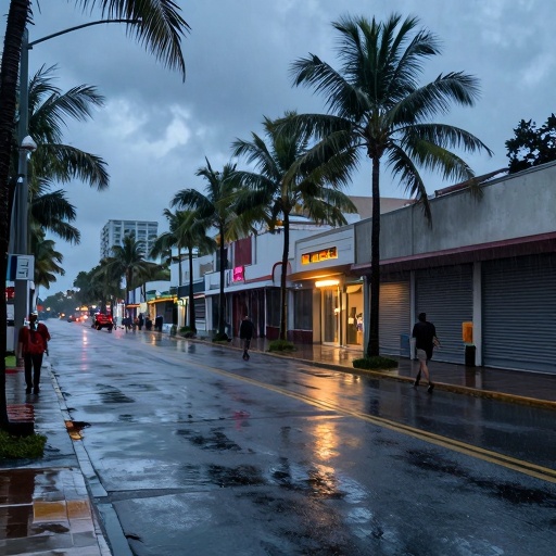
Florida Hurricane Center Tracks Two Tropical Disturbances Amid Record Heatwave
The National Hurricane Center monitors developing systems as Orlando and Central Florida brace for extreme temperatures and shifting weather patterns.
Residents across Central Florida are facing a dual challenge this Saturday, August 15, 2026: relentless sweltering heat and the watchful eye of meteorologists tracking two potential tropical disturbances. While Palm Beach County continues to bake under an intense heatwave, weather experts at the National Hurricane Center (NHC) in Miami have identified two areas of interest that could influence regional conditions later this week.
Current Weather Conditions Across Central Florida
The immediate concern for Orlando, Kissimmee, and Winter Park residents remains the extreme heat. High temperatures are expected to soar well above seasonal averages, creating hazardous conditions for outdoor activities and increasing energy demand across Orange County. Local emergency management officials have issued reminders for vulnerable populations to stay hydrated and limit exposure during peak afternoon hours.
Despite the focus on tropical systems elsewhere in the Atlantic basin, local meteorologists emphasize that humidity levels are rising sharply. This combination of heat and moisture can lead to isolated thunderstorms later in the day, though these are not yet linked to the larger disturbances being tracked further east. The I-4 corridor remains particularly susceptible to rapid temperature changes as air masses collide.
NHC Monitoring Two Tropical Disturbances
According to the latest advisory from the National Hurricane Center, two distinct areas of low pressure are currently being monitored in the tropics. These systems are located far out in the Atlantic Ocean but possess enough organization to warrant close observation by forecasters.
The first disturbance is a tropical wave moving westward toward the Caribbean islands and potentially approaching the Leeward Islands later this week. While it remains disorganized, wind shear patterns suggest it may struggle to develop initially. However, warmer sea surface temperatures in the region could provide fuel for strengthening if other atmospheric conditions align favorably.
The second system is a broader area of low pressure located further east near the Cape Verde Islands. Meteorologists note that this system has a higher potential for development due to favorable upper-level winds and minimal wind shear. If it organizes into a tropical depression, it could become a significant factor in long-range forecasts for Florida later next week.
Implications for Orlando’s Tourism and Safety Protocols
For the theme park industry, which drives much of Central Florida's economy, these distant systems currently pose no immediate threat to operations at Disney World or Universal Studios. However, resort managers are advised to review their severe weather protocols in anticipation of potential changes later in the week, more context in Florida Weather Alert.
Local authorities in Daytona Beach and Sanford remain on high alert for any shifts in storm tracks that might affect coastal flooding risks. While the current models do not indicate a direct hit on Florida’s east coast, historical data shows that tropical systems can change course rapidly when interacting with subtropical ridges.
"We are tracking these disturbances closely because even small changes in trajectory or intensity can have significant impacts on regional weather patterns," said a spokesperson for the National Hurricane Center. "For now, residents should focus on heat safety while staying informed through official channels."
The Orlando International Airport and surrounding transportation hubs continue to operate normally, with no flight delays attributed to these distant systems. Commuters traveling along State Road 436 or Interstate 95 are advised to monitor local news outlets for any updates regarding potential tropical development that might affect travel plans.
Looking Ahead: What Residents Should Know
As the week progresses, forecasters will provide updated assessments of both disturbances. The key factors to watch include sea surface temperatures, wind shear levels, and steering currents in the Atlantic basin. For Central Florida residents, the primary focus remains on managing heat-related risks while keeping an eye on broader weather trends.
Orange County public health officials recommend that seniors and young children avoid outdoor activities between 10 a.m. and 4 p.m. when UV indices are at their peak. Local community centers in Winter Park and Kissimmee have opened cooling stations to provide relief for those without access to air conditioning.
While the tropical disturbances remain far from Florida’s shores, they serve as a reminder of the dynamic nature of Atlantic weather patterns. Residents are encouraged to download official hurricane tracking apps and sign up for local emergency alerts through Orange County Emergency Management systems.